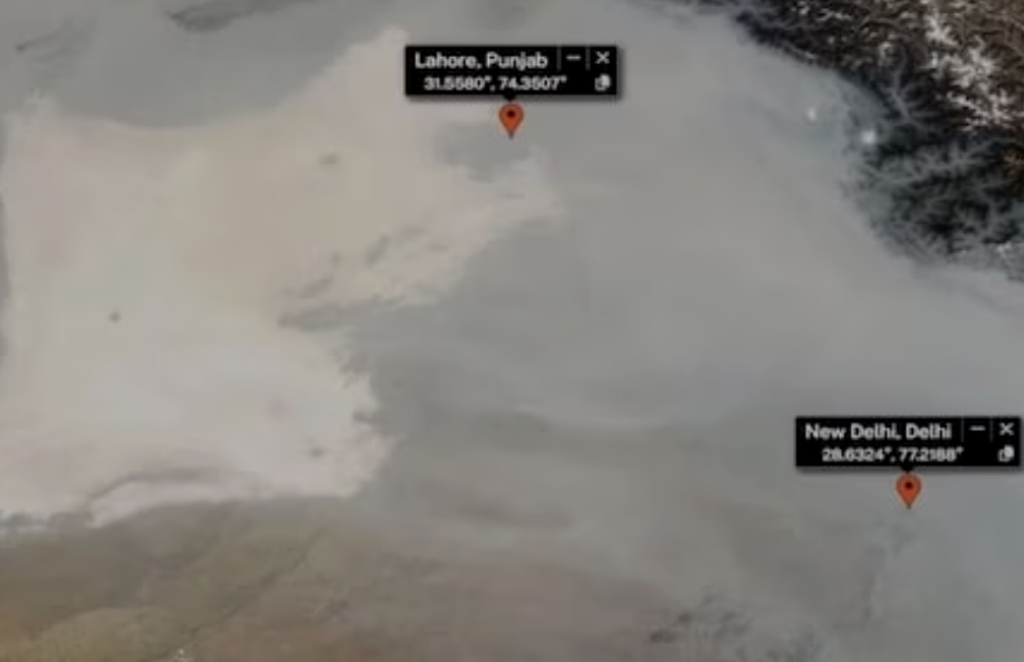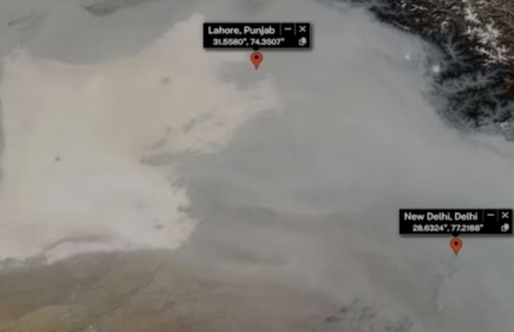
A stark reminder of shared environmental challenges emerged as NASA released a satellite image showing a thick smog blanket covering eastern Pakistan and northern India. The photo, which highlights the cities of Lahore and Delhi, paints a grim picture of the region’s air quality, with Lahore—home to 14 million residents—ranked among the world’s most polluted cities. Pollution levels in Lahore recently hit record highs, reaching an alarming 1165 on IQAir’s live index, while Delhi’s AQI hovers around 350. For context, an AQI of 50 or below is considered safe.
To protect children, authorities in Pakistan have shut down schools in Lahore until November 17. In Multan, about 350 kilometers from Lahore, pollution levels hit an astonishing AQI 2,000 last week, pushing officials to restrict access to public spaces like parks, playgrounds, and historic sites. Polluting tuk-tuks and open barbecue restaurants without filters have also been banned.
Punjab’s government has established a “smog war room” to address pollution control, monitoring agricultural stubble burning, and regulating traffic emissions. A mix of low-grade fuel emissions from factories and vehicles, compounded by seasonal stubble burning, creates this toxic cloud, worsened by cooler weather and stagnant winds.
The World Health Organization warns that this pollution, dominated by PM2.5—a dangerous particulate matter—can cause strokes, heart disease, and respiratory illnesses. PM2.5 particles penetrate deep into lung tissue, entering the bloodstream and posing severe health risks for children, the elderly, and individuals with respiratory conditions.

